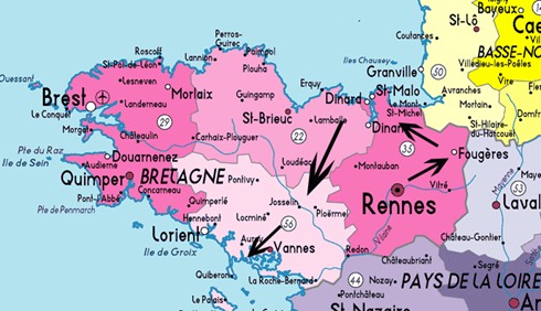
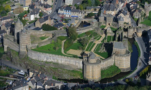
A little geography lesson (and maybe historical): This is a map of the northwest corner of France jutting into the Atlantic Ocean, otherwise known as Brittany/Bretagne (in pink). The yellow region in the map above is Normandy and the Purple is the Loire region. I’ve indicated with black arrows our basic route through Brittany. As you can see, we hardly saw any of it! It’s much much bigger than it seems – it takes about 3.5 hours or so to drive from the North side to the South. Brittany is only 80 km or so from the various English islands: Jersey, Guernsey, and so on. In fact, it was settled by people from the British isles and the Celtic language is still spoken and used on public road signs. Brittany was the last region of France to be annexed to France. It remained independent until the 15th century when it’s Queen (who was married to the King of France but still ruled Brittany as an independent sovereign!) gave it to her son and heir who also happened to the the heir to the throne of France. Bretons still consider themselves Bretons first, and French second, so I was curious to visit this region of crepes and forts. We arrived in Rennes aboard a TGV train which traveled at around 180 mph for most of the trip. It was very comfy (on the way down, on the way up was another matter). After picking up our car, we headed over to Fougeres, which is the largest restored medieval castle in Europe. It also has a working moat. We had a great time walking up the towers and across the ramparts. As neither Robert nor I took any photos, I had to rely on one from an official website:
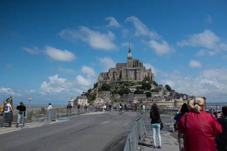
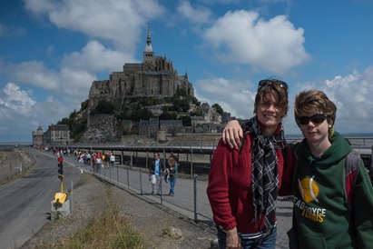
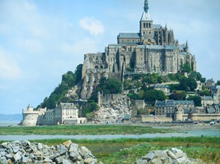
The next day we drove to Mont St Michel:
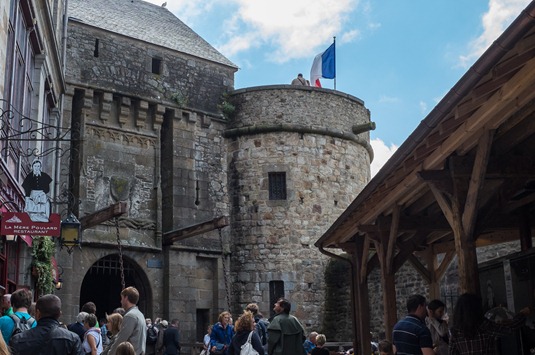
Mont St Michel is quite touristy (it seems that anything worth looking at in France is touristy), but so worth the time it took to get there. Mont St Michel has a small village at its base with hotels and restaurants and loads of shops:
The monastery is built at the top of the granite outcropping which forms the island. There is no fee to take a bus to the village from the car park on land, but there is a fee to enter the monastery. The village is quite small as you can imagine and extremely touristy. Apparently Mont St Michel is also heavily restored as is everything in Paris. In fact, most of the buildings in Paris (Notre Dame Cathedral, parts of the Louvre, e.g.) were in an advanced state of disrepair by the 1800s. Most of the Paris ‘look’ of today – the architecture, old buildings, boulevards, etc. – is really from the 1800s. Same for Mont St Michel, and in fact a good deal of the restoration was completed in the 1900s as it had been used previously as a prison for quite some time. However, they did a great job with the restoration and it was quite seamless with the original parts of the building.
We all very much enjoyed the monastery. The views from it are amazing and the sheer engineering it took to build this vertical, pyramid-like structure is very impressive. The granite is very much a part of the building and it is not uncommon to chance upon walls built around the granite.
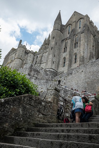
Here is the approach:
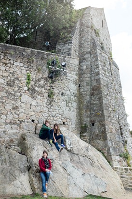
Building around rock:
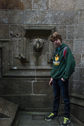
A very large water tap:
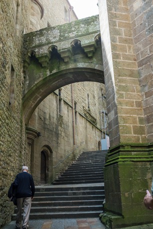
An alleyway with a covered bridge:
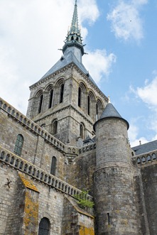
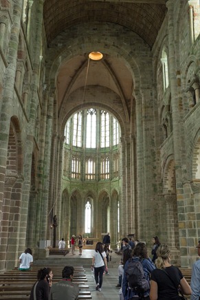
The spire and main chapel:
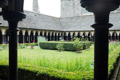
The garden:
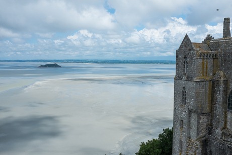
Looking across the bay during low tide (the dark specks on the sand are people walking across the bay). This is a view from the top of the monastery towards the ocean, you can see how far out the tide goes. We were unable to see the tide come in as it occurred around 7 am and then again in the evening, though it’s supposed to be fairly dramatic.
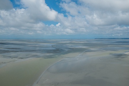
A panorama, below. Because of it’s excellent views, the Mont was used quite a bit as a military base during the wars with the English:
And from the other side, looking out to the ocean (those are Lena’s hands):
Of course, there were many more rooms and interesting features that I haven’t included, for brevity’s sake. One really had a sense of the remoteness of this monastery, it’s exposure to the elements, the English invaders.
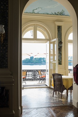
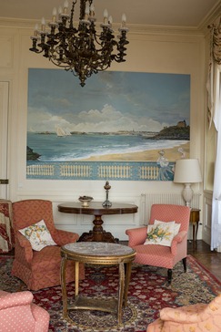
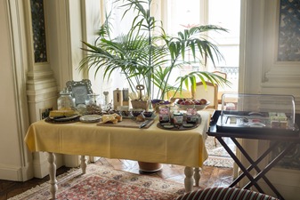
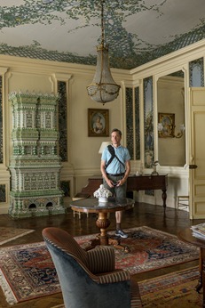
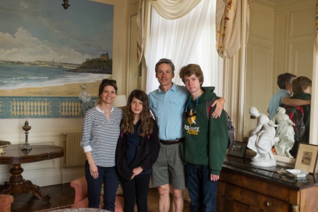
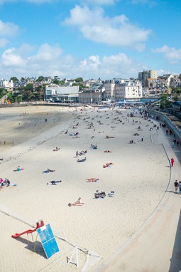
We started our trip off in Dinard, a quaint seaside town that was the playground of the American and European social elite in the early 20th century. In fact, the hotel we stayed in, the Reina Hortense, was a home originally built by a Russian prince. It is a charming inn (with a very charming married couple for owners) with lots of period detail and a fabulous view of the main beach in Dinard. The tide also goes out quite far here as well. We ate breakfast each morning on the terrace overlooking the beach:
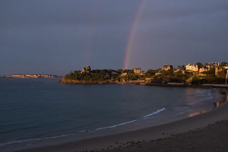
There was a fair bit of rain on our arrival, which resulted in a double rainbow around sunset. This picture is from our hotel room:
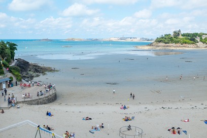
Lena, Cole and Robert spent one afternoon at the beach walking out during low tide. When the tide is down, you can walk between some of the islands in the bay as I’ll report later:
We were only in Dinard for a day and two nights and so we barely scratched the surface of this region. One more place we visited was St Malo, considered one of the most interesting towns in France. It lies directly across the bay from Dinard. I’ll cover that in Trip to France, Part Trois.
